Thursday, July 23, 2015

2015 – 07 – 02: Day 18 Scenic Destinations - from Petrified Forest to more Badlands

From Theodor Roosevelt National Park South 
To Miles City Montana: 

Total distance:   138 miles  

An amazing full moon woke me up.  It must be about 2 am and the bright light was once again coming into the car   I lay there watching it for a good while before falling asleep again.

Medora Scenic Overlook 
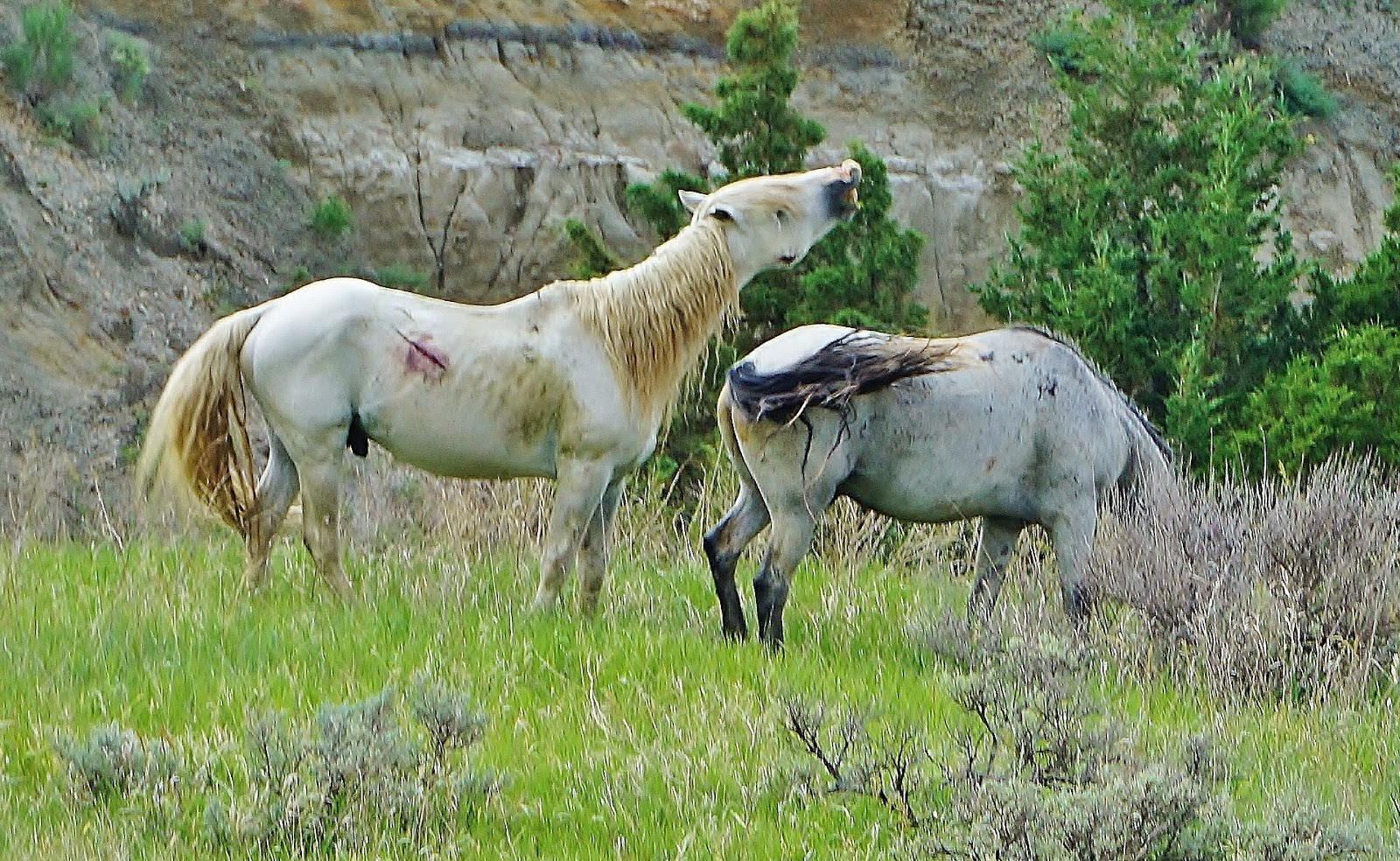
Then the morning arrived sunny and bright.  I packed up camp and then headed back on the road through the park to the exit.  

I stopped at the Medora Scenic Overlook before making my way down into the town.

Medora - Packing House Ruins 


I found a charming little breakfast stop in Medora where I picked up a coffee to go.  After circling around the town I stopped in the Meat Packing Historical Ruins Park and enjoyed the history
Medora - Little Missouri under the bridge view 
of the ruins 


and also a short walk down to the Little Missouri River’s edge.


Red dirt Road to the Petrified Forest Trail 


From there it was only a short drive along the interstate to the red dirt road to the Petrified Forest Trail.  The well maintained road leads to a nice parking lot and from there it is a 1.5 mile walk to the Petrified Forest location and then 1.5 back out again. 

on the hiking trail to the Petrified Forest 
There are two sites to choose from, I choose the north site simply because on the map it looked like the bigger one.  It was a very lovely hike though meadows and down into a valley to get there.  


just one of the many examples of petrified wood 


I enjoyed the scenery and taking photos.  

I was glad that I planned ahead and took lots of water with me as the air is hot and dry. I was surprised to pass others on the way in as I was returning to the car with no water bottles in sight


Leaving the Petrified Forest site; I drove on I-94 west toward Glendive and crossed the border into Montana at the town of Beach.
Makoshika State Park Scenic Drive 
In Glendive I went to Makoshika State Park.  Here I drove the scenic route through the park, 


Natural Arch Bridge 
and took a hike on the Cap Rock Trail.  Aside from the general splendor of the scenery the natural arch bridge was a highlight.  


The steep steps cut into the rock were and interesting change of pace from other trails I have been on.    


Valley Look Trail 
Then I explored the Valley loop trail.  This driving trail was literally only 1 car wide and just dirt, or mud with no guard rails.  Sometimes there was only a thin strip of grass between me and the drop off into the valley below.  But the views, on my, they were awesome. 

perfect sunset to end a perfect day 

After leaving the park I followed the Yellow stone River which I occasionally glimpsed in the distance to Miles City.  I spent some time at the local McDonald's to do some catching up.  And then settled in for the night after watching the sun set a perfect red globe in the west.

Renate Dundys Marrello 


Today's route map - I took the blue route 

Your feedback and comments are welcome!

Wednesday, July 15, 2015

2015 – 07 – 01: Day 17 - Scenic Destinations - from North to South in Theodore Roosevelt National Park

From Theodor Roosevelt National Park North
To Theodor Roosevelt National Park South
Total distance:   56 miles to get there  and then in the park scenic scenic trail 36 miles

It sprinkled during the night and I had to close the car windows but certainly we never got a storm….which is a good thing!

Can you spot the pheasant? 
With a banana for breakfast I was on my way.  Leaving the camp ground I spotted a deer and her fawn.  A bit further down the road I saw a pheasant at the side of the road.

I am always fascinated by neglected ruins 
I am back on hwy 85 this time going south, and just as my friendly park entrance lady told me, 20 miles south in Green Butte there was a gas station. 

I spent some time at the “business centre” connected to the internet to catch up on correspondence.  Then back on the road again.

view from the moving car


The drive south on Hwy 85 and then west on I 94 toward Medora and the south park entrance went smooth.


View to Painted Canyon 


I stopped at the Painted Canyon Visitor Center. 
Here I went for a stroll along the paved path overlook for a lovely view to the canyon below.


good trail markings
Then I found the trail head for the hike into the canyon.  I stated that it was a 1 mile loop so I followed the signs and trail markers for a brilliant hike.  Such amazing views.


From the Painted Canyon stop it was just a short drive to Medora and the park entrance.  Here I stopped to see the displays and get a ticket for the full moon walk.  I also waked out to see the original Theodore Roosevelt cabin, the Maltese Cross Ranch House. 

Next I started the scenic drive through the park and enjoyd an scenic overlook. When I arrived at the campgrounds I secured a camp site at the Cotton woods campground.

With that taken care of, I continued the drive on the 36 mile scenic loop road.  I stopped at the various overlooks and did a ridge hike.  Such unique beautiful scenes everywhere I look. 

Wild horses at the side of the road 
Today is my day for wild life.  I saw some wild horses at the side of the road.  


Bison traffic jam 


Then a small herd of bison crossing the road and holding up traffic.  Later on I spotted here and there more single or pairs of bison.


Fantastic wind carving


I stopped for another hike so see the Wind Canyon, where not only were the rock ridges carved into fantastic shapes by the wind, but also, there were spectacular views to the Little Missouri River below.


cute prairie dog poses for me 


My next stop was at the Prairie Dog Village where I sat and watched the antics of the prairie dogs. How cute!


Now the loop was complete and I headed back to my camp site.  I was prepared to get ready for the evening guided moon light hike when it started to rain.  So instead of going for another drive, I quickly set up the mosquito net and hunkered down to wait out the storm. 

The skies remained dark. Then the lightening and thunder started.   No full moon hike today!


Instead I did some reading and some photo editing and saw a haze of red in the west as the sun set.  I wonder if there will be a clear patch for the moon later tonight like last night? 

Renate Dundys Marrello 

See more Photos: 


Today's route map 

My Face book Reflections Page

Your comments and feedback are always welcome

Wednesday, July 8, 2015

2015 – 06 – 30: Day 16 Scenic Destinations - Theodore Roosevelt National Park – day of the Bison


Scenic Destinations Day 15
From Theodore Roosevelt National Park to Watkins and back again
Total distance:   36 miles

Garbage bin as scratching post!  
This morning it was very overcast and I decided to go to the small town of Watkins ND for breakfast.  Breakfast became lunch because I encountered a herd of Buffalo grazing by the roadside in the park.  I parked the car and watched them for a couple of hours.  I took a bunch of pictures and even did a sketch.

that is one hearty meal!


The lady at the front entrance gave me directions to a restaurant.  I followed her instructions and found the "little Missouri for an "all day breakfast" eggs bacon, hash brown and toast.  yummy.

I was delighted to discover that I also had internet access and got a few emails sent off.

I checked the GPS just in case there was a golf course nearby and I was in luck.  Watkins Municipal Golf Course was only 5 minutes away and they had a driving range.  I got a bucket of balls for $10.00 and enjoyed working on my golf swing. 

I had cell reception so I phoned Mel and we chatted about the bison and my golf and his golf plans with his friends. 

abandoned on the hill top 
On the drive back to the park I stopped to take some pictures of some old relics.

Back in the park, I once again encountered several groups of wildlife. 

A group of long horn cows resting by the river, a group of bison resting in the sandy  shade of a cliff face. 


Right at the side of road - so close!

There were even still lots hanging around in the same spot I saw them this morning. They were really close to the roadside munching on the green grasses there found there. 
cute calf 


Cannonball Concretions 


Because they were so close to the roadside I was able to get some great photos.  The mom and calf were fun to watch. 


Finally, tearing myself away from the herds, I took a short hike by the “cannon balls” and marveled at the roundness of these natural formations.   


The skies are clearing but there are still substantial clouds.  I hope they are blown away by tomorrow night as I would love to experience the full moon range led walk at the south park.  The breezes are blowing and I am hopeful the will push those clouds eastward.   The breezes also make for a more pleasant temperature though they don’t seem to help too much at keeping the bugs away.  Even with liberal use of bug spray I am getting lots of bites. 

Back at my picnic shelter I got caught up on transcribing my wagon train notes.  It remains overcast and cloudy.

At my camp site I settled I for the evening, eating dinner, and relaxing.  A ranger dropped in with a severe weather warning, with hurricane force winds.  The storm path is north of here but he said to tie everything down well just in case.  He also said to head to the restrooms for secure shelter if things got bad.  That is easy on the mind to go to sleep with!


Late in the evening I was awoken by a bright light!  Where did that come from?  I looked out to see the almost full moon was brilliantly shining into my sleeping chamber.  How awesome!  

Renate Dundys Marrello 

see more photos

visit my Facebook Reflections page

Tuesday, July 7, 2015

2015 – 06 – 29: Day 15 Scenic Destinations - Theodore Roosevelt National Park – north branch


From Dickinson ND
To Theodore Roosevelt National Park – north branch
Driving Distance:  71 miles //  scenic trail through the park there and back:  28 miles

I had a lovely day driving to and entering into the Theodore Roosevelt National Park (north branch).  It was an easy find. 

amazing yellow fields 
On the drive there I saw some amazing yellow fields.  I tried to get a photo show how brilliant the colour was.  


entering Badlands country 


As I entered the North Dakota Badlands I started to see some stunning scenery and pulled into a couple of roadside stops to just admire the views.

Just after I entered the park a rabbit scampered across my path. I took this as a good sign that there is wildlife here.

view from my camp site 
I set up my camp site which is right on the Little Missouri River with a stunning view!  A few steps from the picnic table I can watch the river flowing by and when I look up I see the lovely sculpted rock surfaces of the weathered rock cliffs. 

This park is very quiet.  There are very few people around and the camp sites are quite secluded with hedges of trees all around.  

Then it was time to go exploring.   The scenic road is 15 miles long and the scenes along the way are so very amazing!!!

view to the Little Missouri River 


I stopped to do a sketch at River Bend Overlook. There was a lovely shelter here to protect me from the heat of the blazing sun.


View from Oxbow Overlook 


At the end of this road is Oxbow Overlook.  It marks the highest point along this scenic road and there is a panoramic view to the river valley below.  Because I was so high up I also got some cell reception and was able to call and talk to Mel.


Oh my goodness I took so many pictures!  everywhere I looked there was another wonder to behold!


Map of drive from Dickinson ND to Oxbow Overlook 


Sketch of view at River Bend Overlook